Guided hikes in Aigüestortes: from forest to high mountain · Aigüestortes i Estany de Sant Maurici National Park
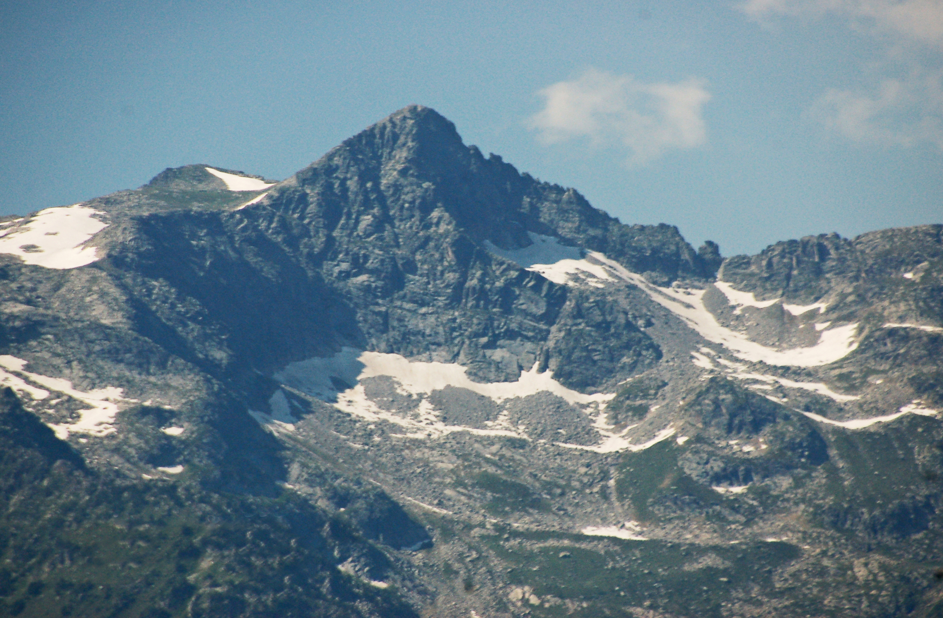
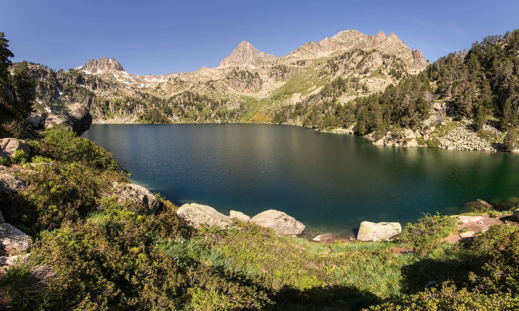
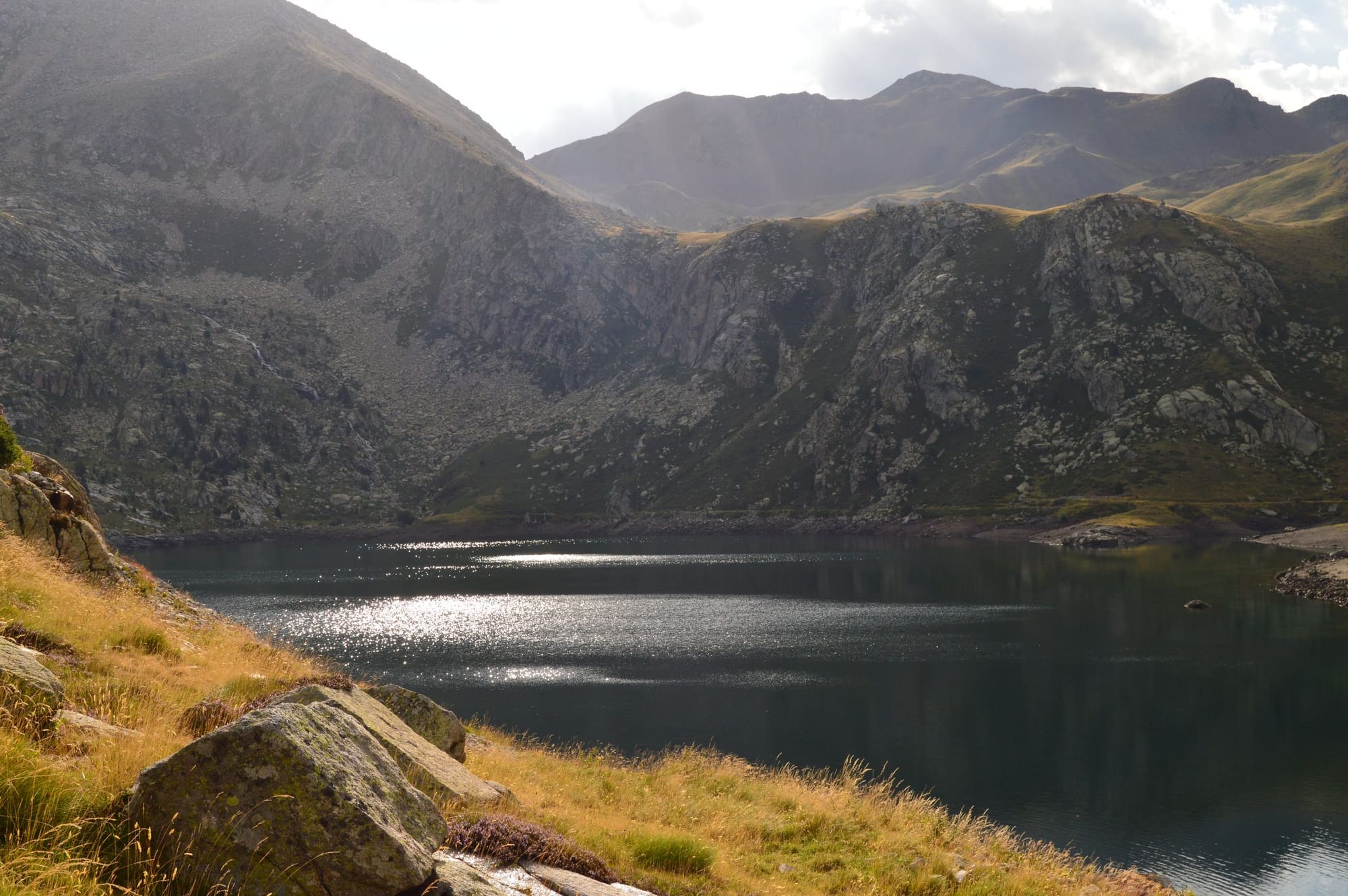
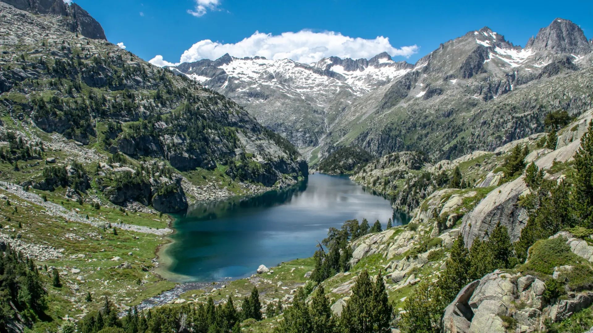
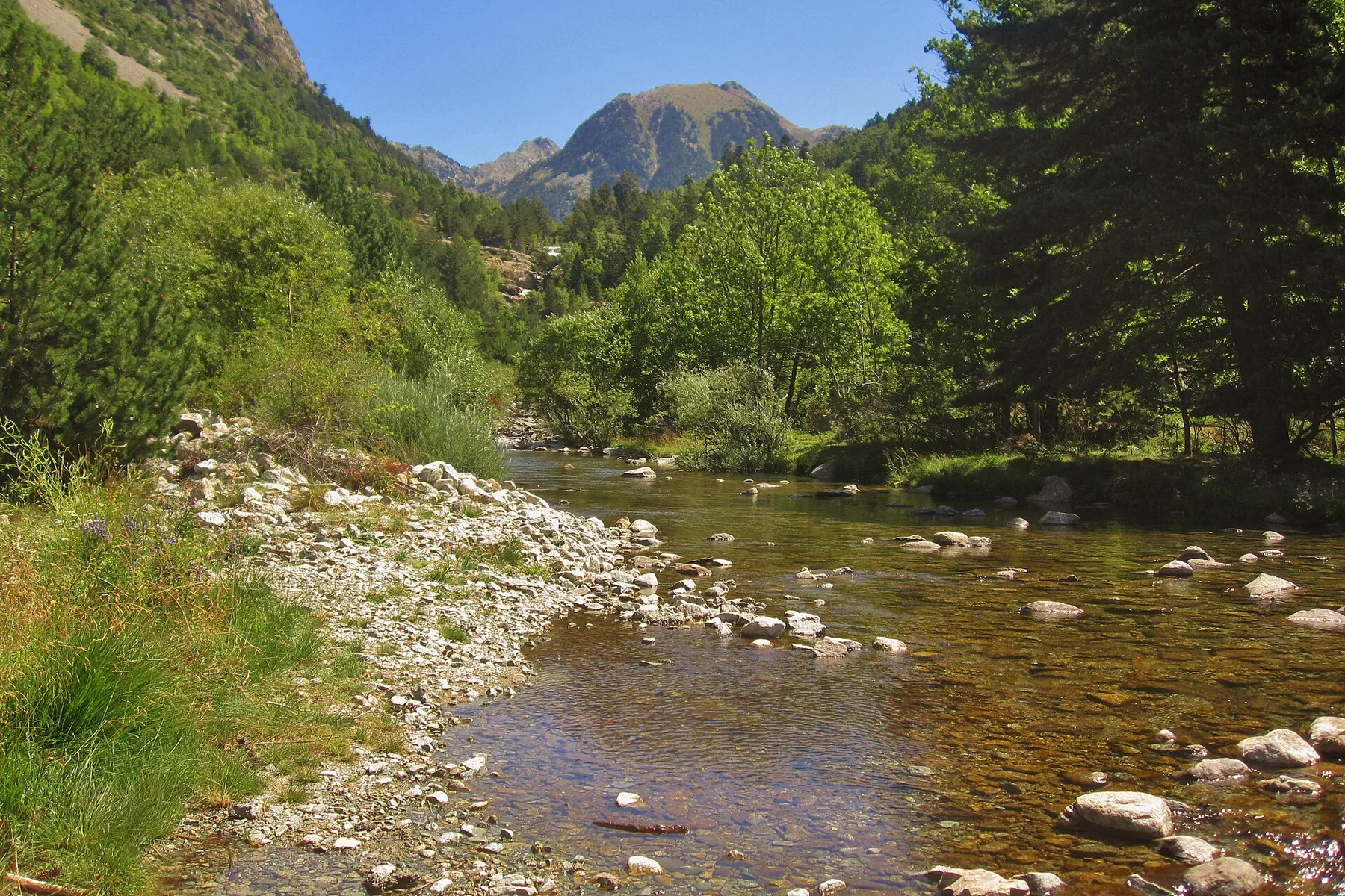
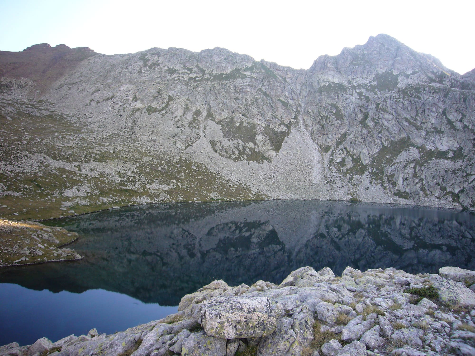
The Pessó lakes from the Ribera bridge
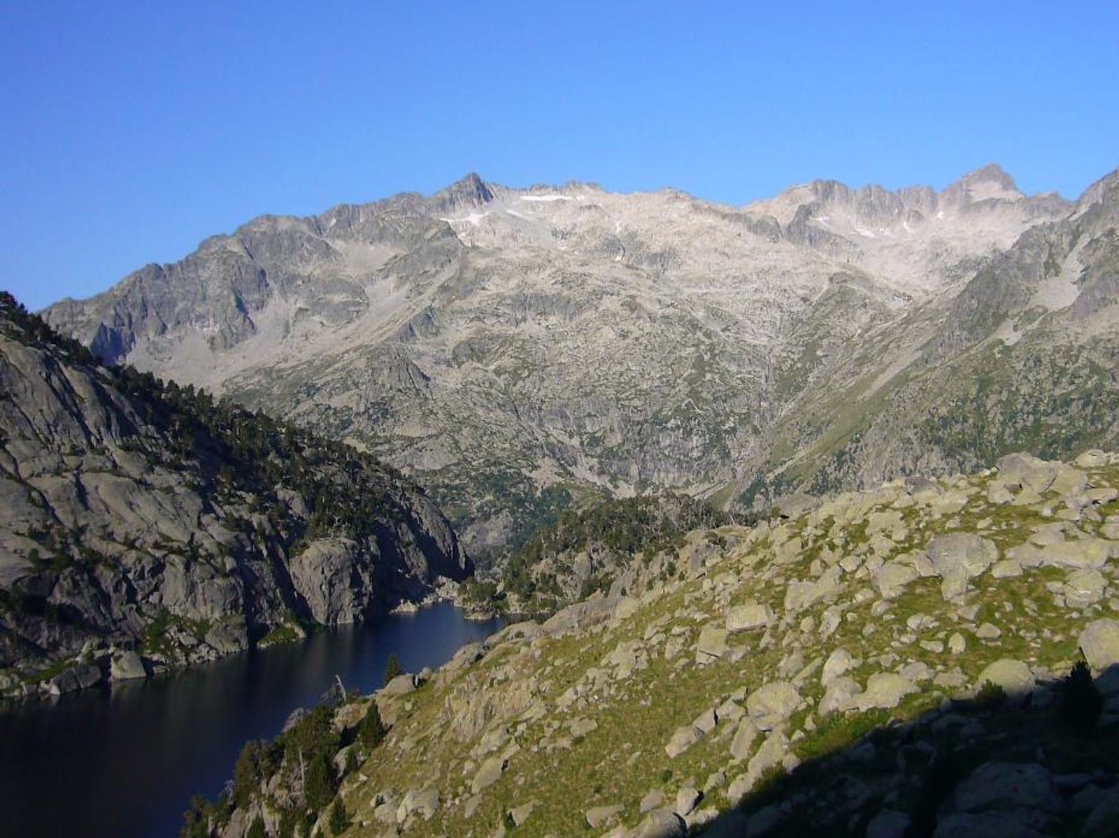
A 9.2 km, 6-hour route to the Pessó chain of lakes, in a high mountain valley that sees fewer walkers than Sant Maurici. Sustained climbing, high mountain terrain, starting from Boí.
Thirteen catalogued routes, from an accessible 400-metre stroll to a 23 km ascent above 2,900 metres
Access from both sides of the park: Boí (west) and Espot (east)
An AEGM / UIMLA-qualified mountain leader who helps you choose the route for your group
Prefer something else?
Other options
Difficult (PD+)
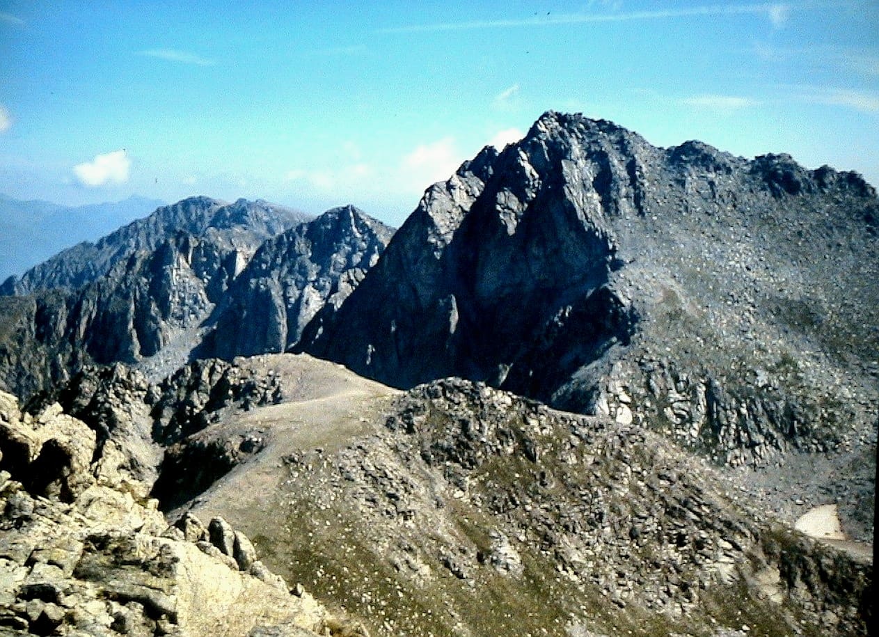
Besiberri Nord (3,014 m) via the Riu Malo
A high mountain ascent of Besiberri Nord from Cavallers, following the Riu Malo valley. It has its own page with full details in our activity catalogue.
A two-summit high mountain route from Cavallers, also doable on snowshoes in the snow season. It has its own page with full details in our activity catalogue.
A circular route through the Colomèrs glacial cirque, visiting several of its lakes from the Plan des Banhs. It has its own page with full details in our activity catalogue.
Aigüestortes i Estany de Sant Maurici National Park: the landscape up close
Geology, Heritage, Wildlife and Plants: a closer look at the setting of this activity. Documentary images of species or places not taken at the exact point of the route are shown for reference only, and sightings are not guaranteed.
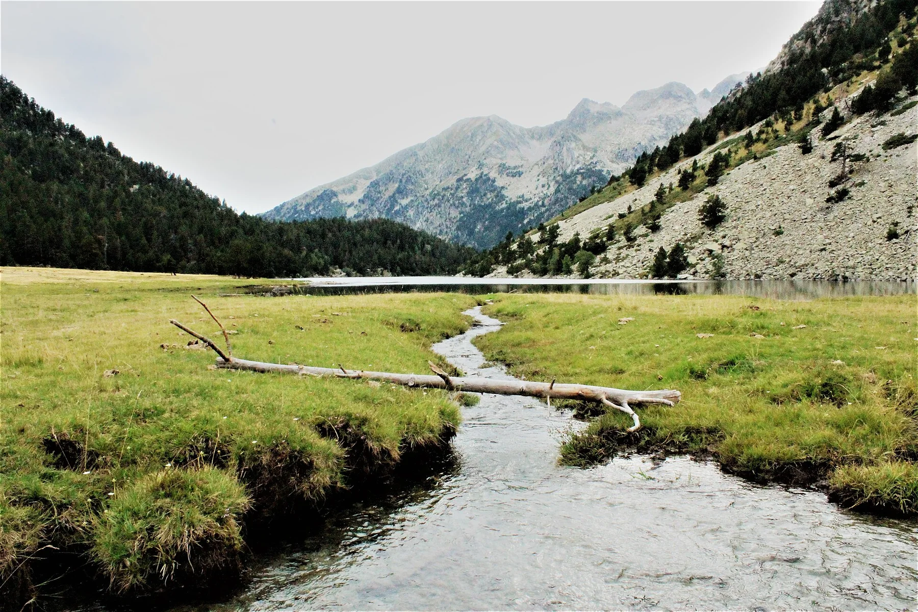
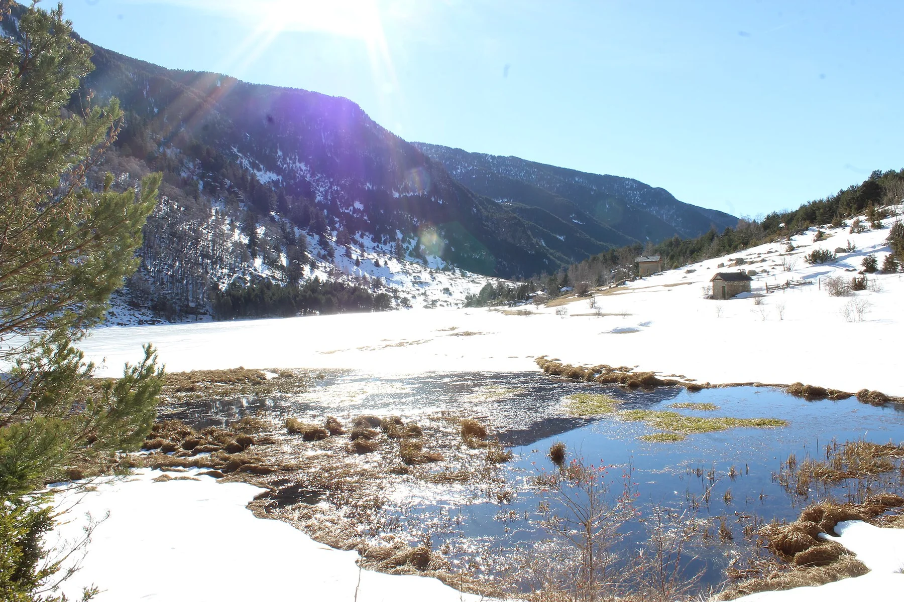
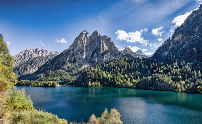
Estany de Sant MauriciThe best-known lake in the park, with the peaks of Els Encantats reflected in its water.Aigüestortes: "winding waters"The park's very name describes the meanders and peat bogs that glacial water forms on flat ground, visible beside the Riu de Sant Nicolau.The Amitges glacial cirqueA landscape carved by Quaternary ice, with polished rock visible on several stretches of the path.01 / 03
GeologyThe glacial landscape of Aigüestortes National Park
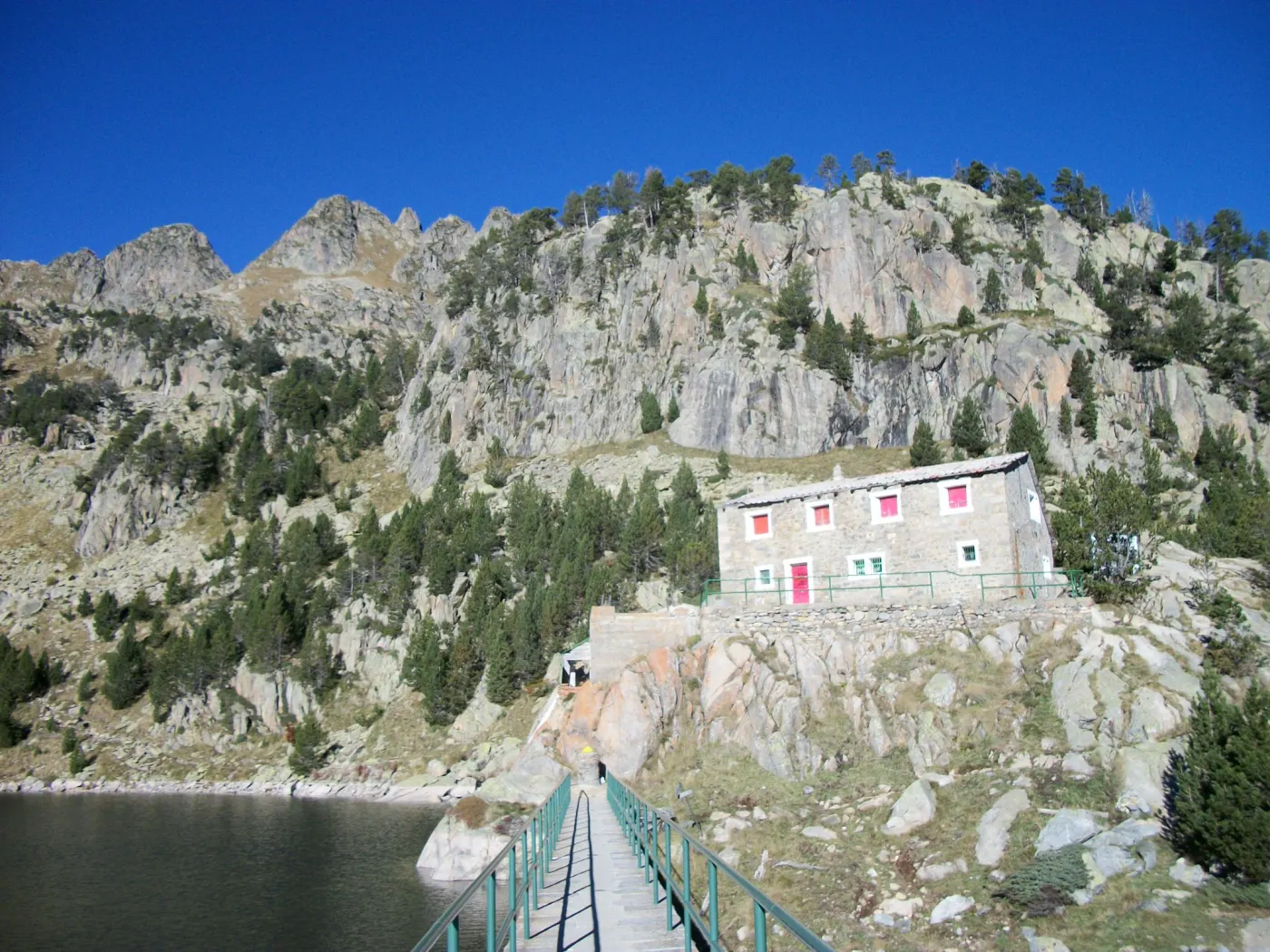
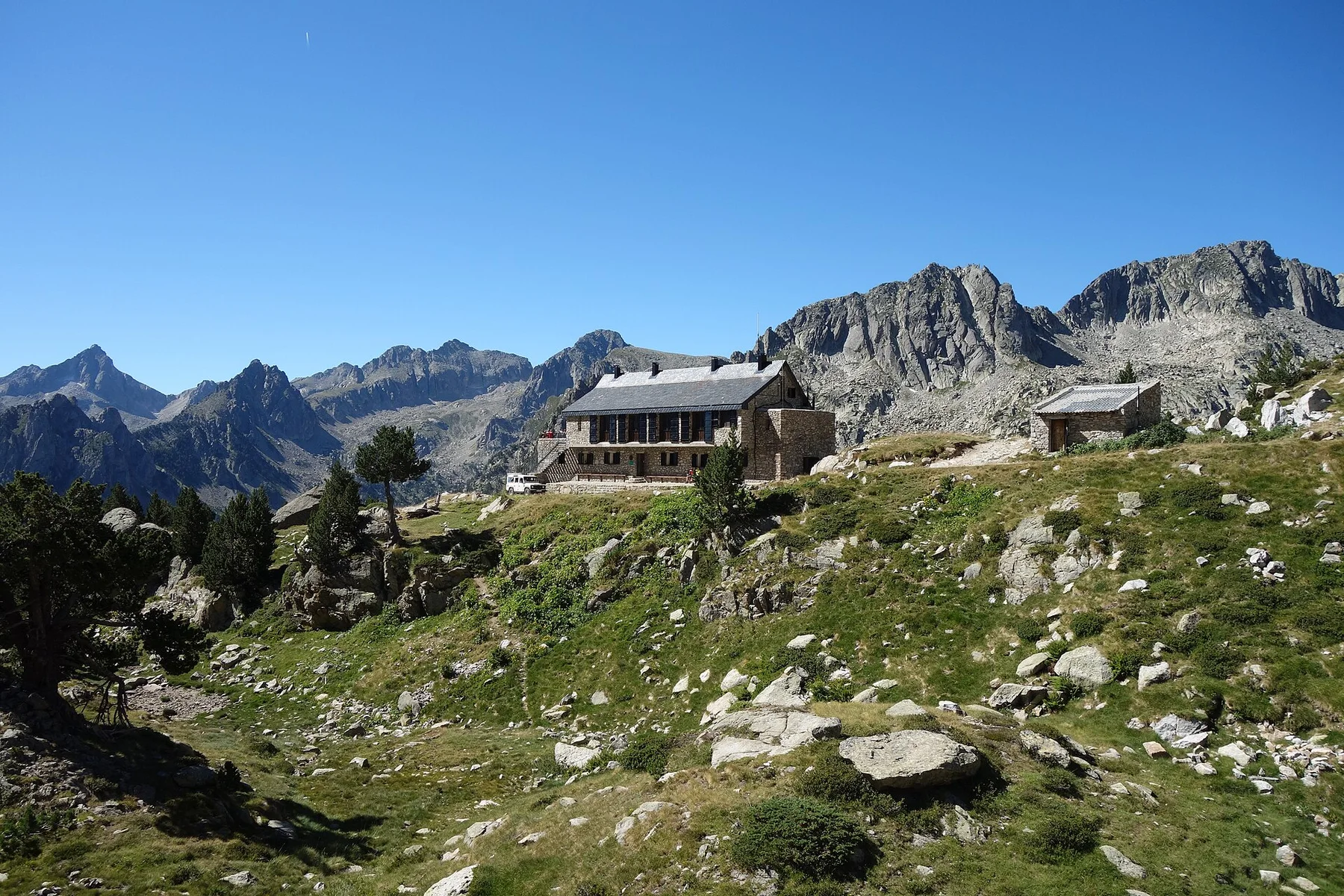
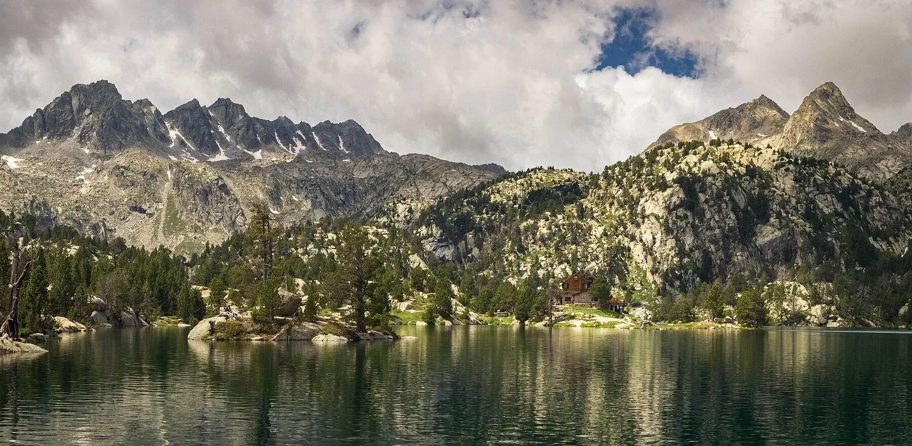
Refugi d'AmitgesOne of the staffed refuges in the park's network, right in the glacial cirque of the same name.Refugi Josep Maria BlancAt 2,350 m, beside the Estany Tort de Peguera, another of the park's best-known staffed refuges.01 / 02
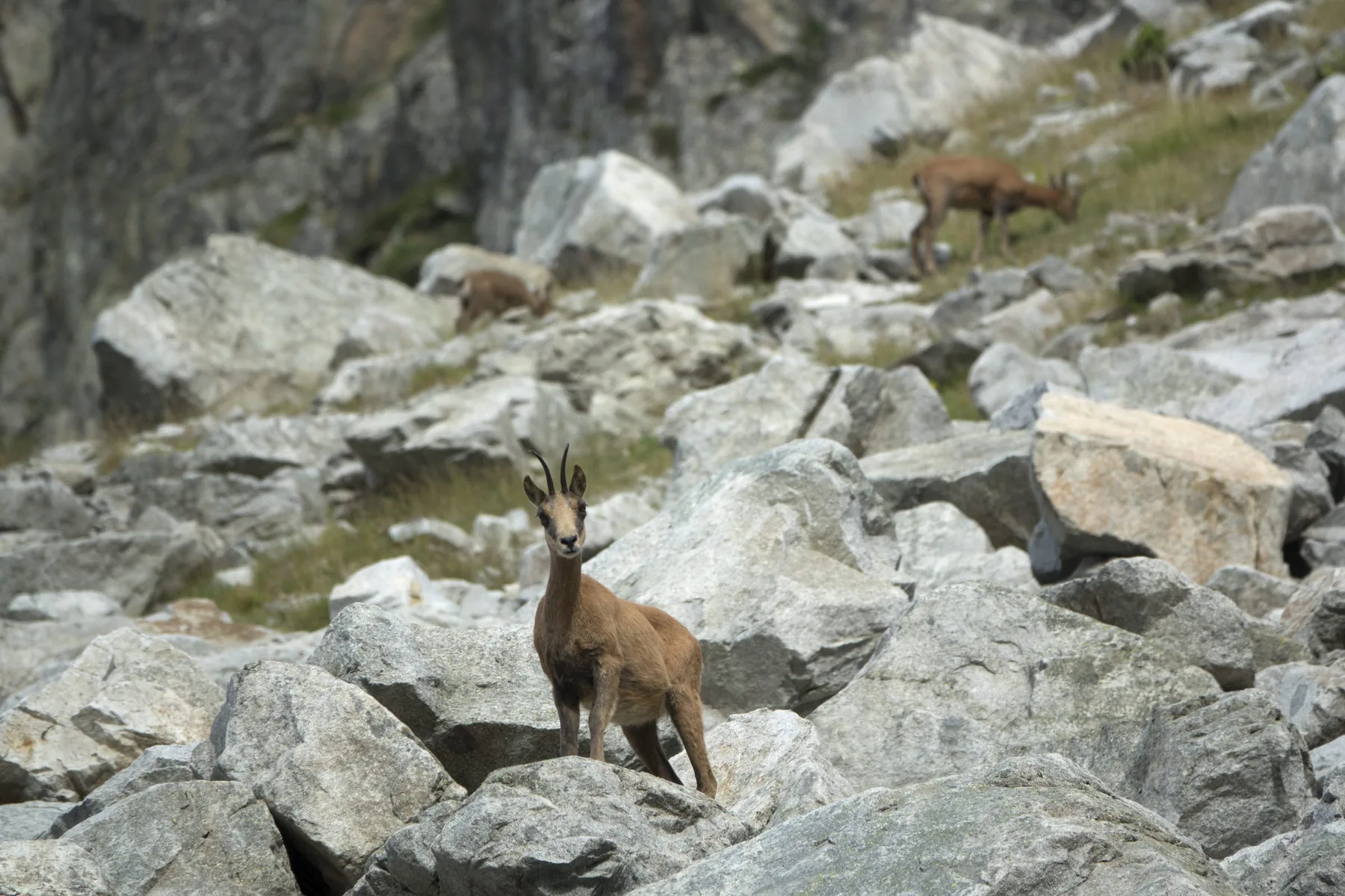
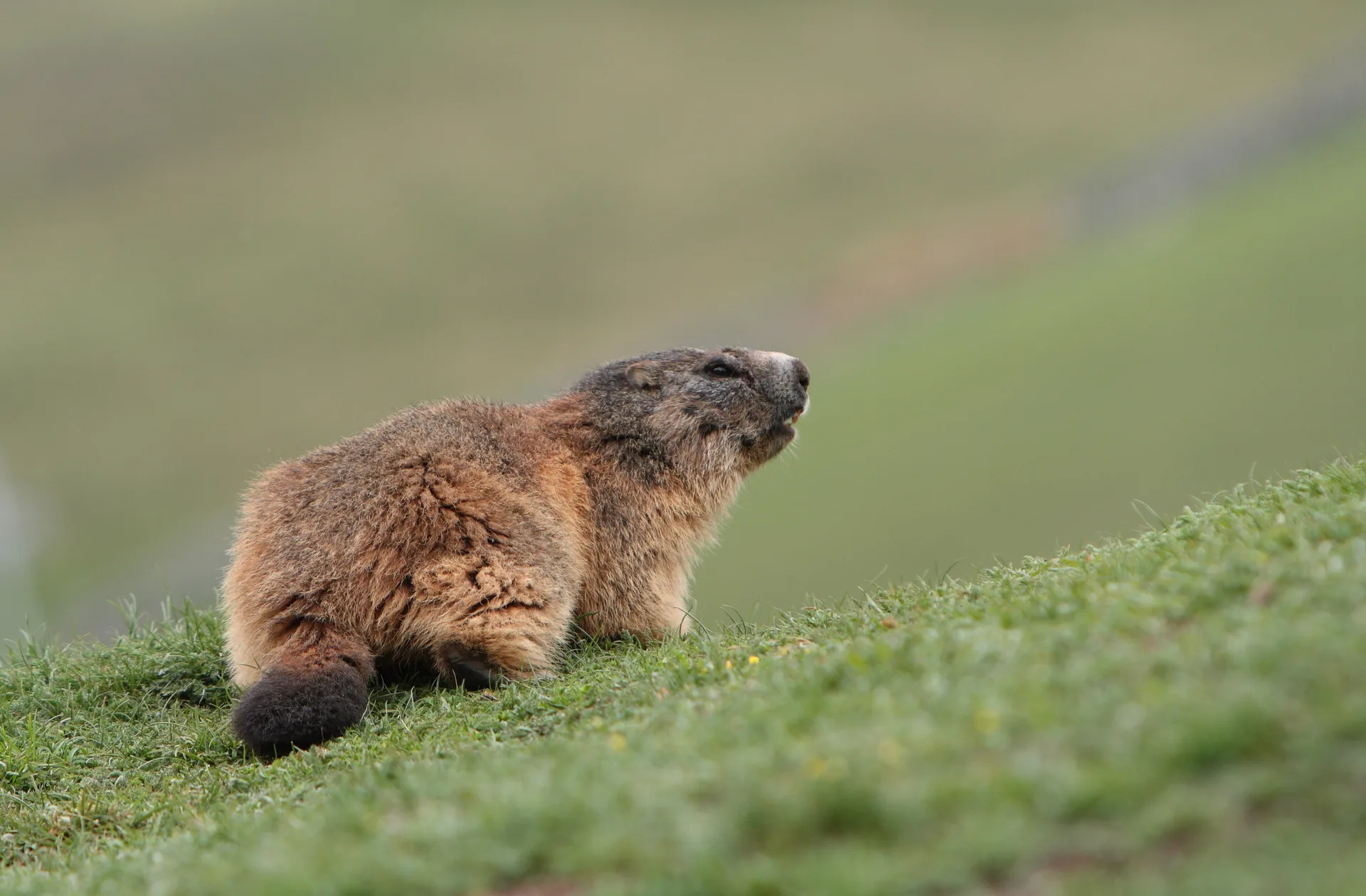
Isard (Pyrenean chamois)Rupicapra pyrenaica pyrenaica · the most common hoofed mammal along the park's thirteen catalogued routes.Alpine marmotMarmota marmota · common in the stony pastures on both sides of the park.01 / 02
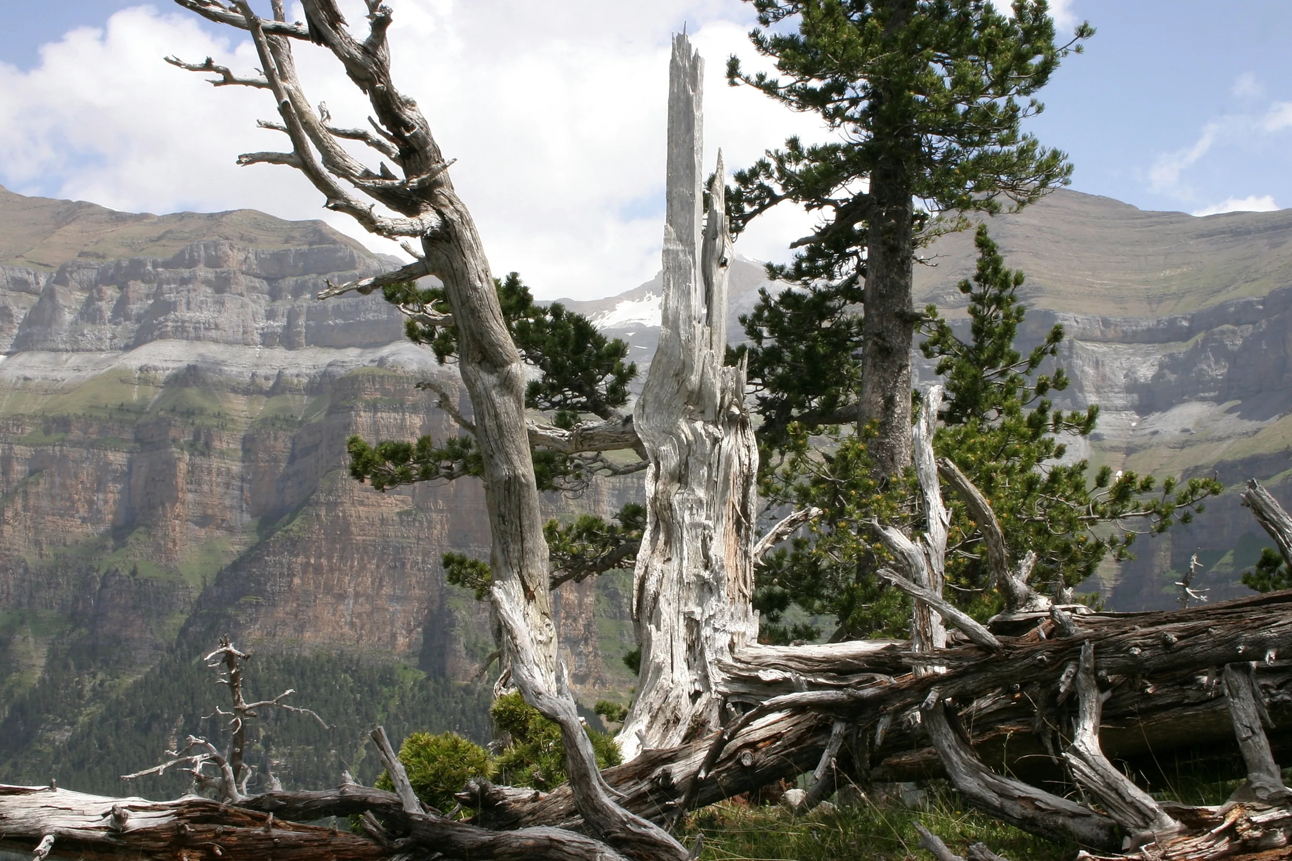
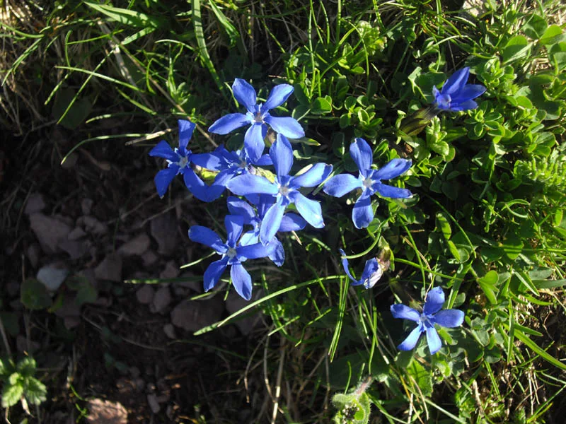
Mountain pinePinus uncinata · the conifer that marks the upper limit of the forest before the alpine zone, found on most of the thirteen routes.Spring gentianGentiana verna · a small, intensely blue flower, common in the park's high mountain pastures in spring and summer.01 / 02
Local photos: Ecotour archive. Documentary images: free-licence image banks or Wikimedia Commons, used under licence or with permission. The species and features shown are documented in the area, but seeing them during the activity is not guaranteed.
Before you book
Which of the thirteen routes is yours?
Thirteen very different routes share the same park. This helps you work out whether you need help choosing or already have a clear goal.
Great fit
You'll love it if…
You want to visit the park but don't know which route suits your group and your real level.
You are looking for something accessible for the whole family, a demanding high mountain ascent, or anything in between.
Worth a second look
It might not be for you if…
You already know exactly which route you want and are looking for the full route details for Besiberri, Montardo or Colomèrs: go straight to their own page.
Guided hikes in Aigüestortes: from forest to high mountain
The Pessó lakes from the Ribera bridge · from Price on request / person
30% deposit to secure your spot
We confirm within 24 h
How does booking work?
You pick the day and number of people and send us the request. Nothing is charged yet.
We check availability with our team and local collaborators.
We usually confirm within 24 h and send you a link to pay a 30% deposit that secures your place.
The balance is paid before the activity. If it doesn't go ahead (for example, minimum group not reached) we refund the whole deposit; the same if you cancel 7 days or more ahead.
We book this option with you on WhatsApp: we confirm the date and terms straight away.
If the outing doesn't go ahead (for example, the minimum group of 4 isn't reached) we refund the whole deposit; the same if you cancel 7 days or more ahead.
After payment, we'll ask for a short 1–2 minute activity form so we can prepare properly.
Included
An AEGM / UIMLA-qualified mountain leader who helps you choose the route and, if you book it, comes with you.
Mountain leader
The route is matched to the group's real level before it is confirmed.
Planning
Included in the activity.
Public liability and accident insurance
Not included
To the starting point of each route.
Transport
Hiking boots, technical clothing and, on high mountain routes, ice axe and crampons.
Personal technical equipment
For the day.
Food and drink
Before you set off
What to bring
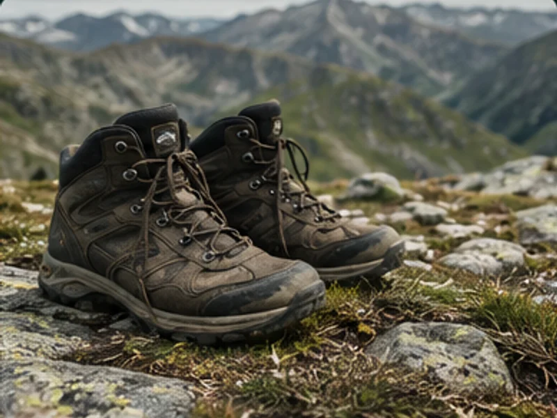
Hiking boots
Essential on any of the non-adapted routes.
Layered clothing
The weather changes quickly in the park, especially on the high mountain routes.
Water and food
There are no facilities inside the park on most routes.
Once your date is confirmed, you'll receive the final kit list, adapted to the forecast and ground conditions.
Frequently asked questions
What people ask us
01How do you get into the park? Can I drive my own car?
In high season, access to the central areas of the park is restricted to authorised taxis and minibuses on both sides (Boí and Espot); you cannot drive your own vehicle into the interior. We give you the exact access details when we confirm your route.
02Do you have a full page for any specific route?
Yes, Besiberri Nord, Montardo and the Colomèrs cirque each have their own page with itinerary, route data and full details in our activity catalogue.
03I don't know which route to choose. Can you help?
Yes. Tell us about your group's experience of mountain walking, how much time you have and what you are looking for, and we will recommend which of the thirteen routes suits you best.
04Do the high mountain routes need technical equipment?
The most difficult ones (Besiberri, Montardo, Amitges/Saboredo, Peguera/Monestero) may require an ice axe and crampons depending on the time of year and snow conditions. We confirm this when we plan the route with you.
05How long does each route take?
It depends on the route you choose: there are thirteen options, from walks of a few hours to full high mountain days. We confirm it when we plan it with you.
06When can I visit the park?
From May to October, although the specific route and snow conditions in the high areas can shorten that window.
A wonderful experience in a luxury setting. We got in touch with Javi after finding him online and it was a great decision. He's a young guy, passionate about his work and about nature, and it shows. He explained so many things about the rut and the surroundings, and brought samples to show us how animals are tracked, always with respect and without disturbing their habitat.
He also took loads of souvenir photos, both of us and of the animals, which we really appreciated. I loved the equipment he uses: he has a screen that attaches to the camera, so we could all enjoy the views without needing telescopes.
Thank you so much, Javi, for the experience. You're a truly lovely person.
★★★★★
M. Villar (Proska)2 weeks ago
Red deer rut
Without a doubt an unforgettable experience. Several companies offer the rut, but not like this one: his knowledge of the subject, together with the technology he uses, guarantees a complete outing and lets you enjoy the activity to the fullest.
100% recommended
★★★★★
Loisian2 weeks ago
Red deer rut
We can only thank Javi for our outing: the day before the weather was awful and he advised us to postpone it, so we wouldn't climb up and not see the rut. The next day was wonderful, the views beautiful, and thanks to his experience and his technology we could see everything as if we were at the cinema. If we come back, we'll do it again. 100% recommended
★★★★★
Juanma Ferrer Navarro4 weeks ago
Red deer rut
A really good person who knows the Val d'Aran very well.
We had a great morning listening to and watching the rut with Javier, who will be your guide.
On top of that, you learn a lot about the local flora and fauna of Aran.
★★★★★
sonia Jiménez2 months ago
Rafting
⭐⭐⭐⭐ An unforgettable week in the Val d'Aran with Ecotour (Javi)
We've just spent a week's holiday in the Val d'Aran organised by Ecotour, and we couldn't be happier with the experience. The days were full of adventure, nature, excitement and fun.
We'd especially like to highlight Javi, who was much more than a guide. His huge knowledge of the area, the wildlife, the plants and the history of the valley gave every activity extra value. You can tell he's a true nature lover and knows how to pass that passion on to the people with him.
During the week we did e-bike rides, rafting, canyoning, a spectacular trek in Aigüestortes i Estany de Sant Maurici National Park with the climb up to Portarró, and we also visited some of the prettiest villages in the Val d'Aran. One of the most special moments was being able to see such emblematic species as the Apollo butterfly, a protected species that is increasingly hard to find.
If we had to find a "but", it would only be the rafting, which surprised us least compared with the rest. Even so, we enjoyed the whole experience a lot.
We'd also like to thank Javi for his great tips on where to eat in Vielha. He recommended restaurants with excellent value for money, where we could enjoy the valley's food without spending more than we needed to.
All in all, a totally recommended experience for anyone who wants to discover the Val d'Aran in a different, active and authentic way. Thank you, Javi, for making this holiday such a special memory. We'll definitely be back!
★★★★★
PAU RODRIGO9 months ago
Snowshoeing
Excellent experience with Javi on a snowshoe route. Vast knowledge about everything to do with the mountains. Going with him guarantees you'll enjoy your adventure 200% and come back with a smile. He works really hard. The best guide I've ever met.
See you soon, Javi. Take care 👋👋👋
★★★★★
Jose Manuel Luque Rodriguez11 months ago
Snowshoeing
More than a guide, a friend!!
His level of knowledge about the mountains, snow, animals and everything related to the mountains is exceptional.
My experience with him on snowshoes: 15 out of 10!!
A professional and one of those people who only give...
Personally, I didn't meet a guide, I made a friend.
Professionally... one of a kind...
I'd always recommend him, and I already do.
A hug, Javi.
★★★★★
José Luis Durán12 months ago
Red deer rut
With Ecotour we did two organised rut outings last September.
Although in the morning we didn't manage to see any deer (because, unfortunately, the wild boar hunt was on), the experience, both the trekking + observation outing and the afternoon observation, was great.
Javier is a great professional who radiates friendliness and passion for his work, and he passes that on in everything he explains.
I think we couldn't have found a better guide.
A completely recommended experience with him. To repeat another year!
★★★★★
Joan Palomer12 months ago
Red deer rut
We went to see the rut with two little girls, and with Javi it was great fun and he was very attentive. For our next outing in the area, we'll definitely hire him.
★★★★★
Montse Coca1 year ago
Red deer rut
A great afternoon: Javi took us to an area where we could see and hear the rut, treated us to a small snack of local produce and told us about the life of the deer, the differences between antlers… You can tell he's passionate about his work. Thanks to the camera and lens he uses we could see them really well and watch their behaviour during the mating season. A great experience, highly recommended.
★★★★★
Antonio disa1 year ago
Red deer rut
We did an outing to look for deer and listen to the rut. Javi is a very good guide, a person with a huge knowledge of the mountains and a great photography enthusiast. An experience to repeat.
★★★★★
Carlos N1 year ago
Snowshoeing
We did a snowshoe route and the experience was heartwarming. Javi as a guide doesn't just pass on his love of the mountains, he teaches you to love and understand them; on top of that he's one of the group, he's your friend and he cares about every single person in it.
Be the first to hear about new guides, dates and activities.
A short note when we open departures, publish a useful guide or come across an experience worth a proper look.
Ecotour AI assistantAI-generated answers based on our real catalogue of trips and activities
Hello! 👋 I'm Ecotour's AI assistant. Looking for a small-group trip or an activity in the Pyrenees? Tell me what you have in mind and I'll suggest something real from our catalogue. To go further or ask something specific, I'll put you in touch with the team on WhatsApp.
Any questions about this trip? Message us, we reply quickly 👋
We respect your privacy
We use necessary cookies and, if you accept them, analytics, advertising, CRM and external content cookies (reviews and videos). Read our cookie policy.

 Difficult (PD+)