
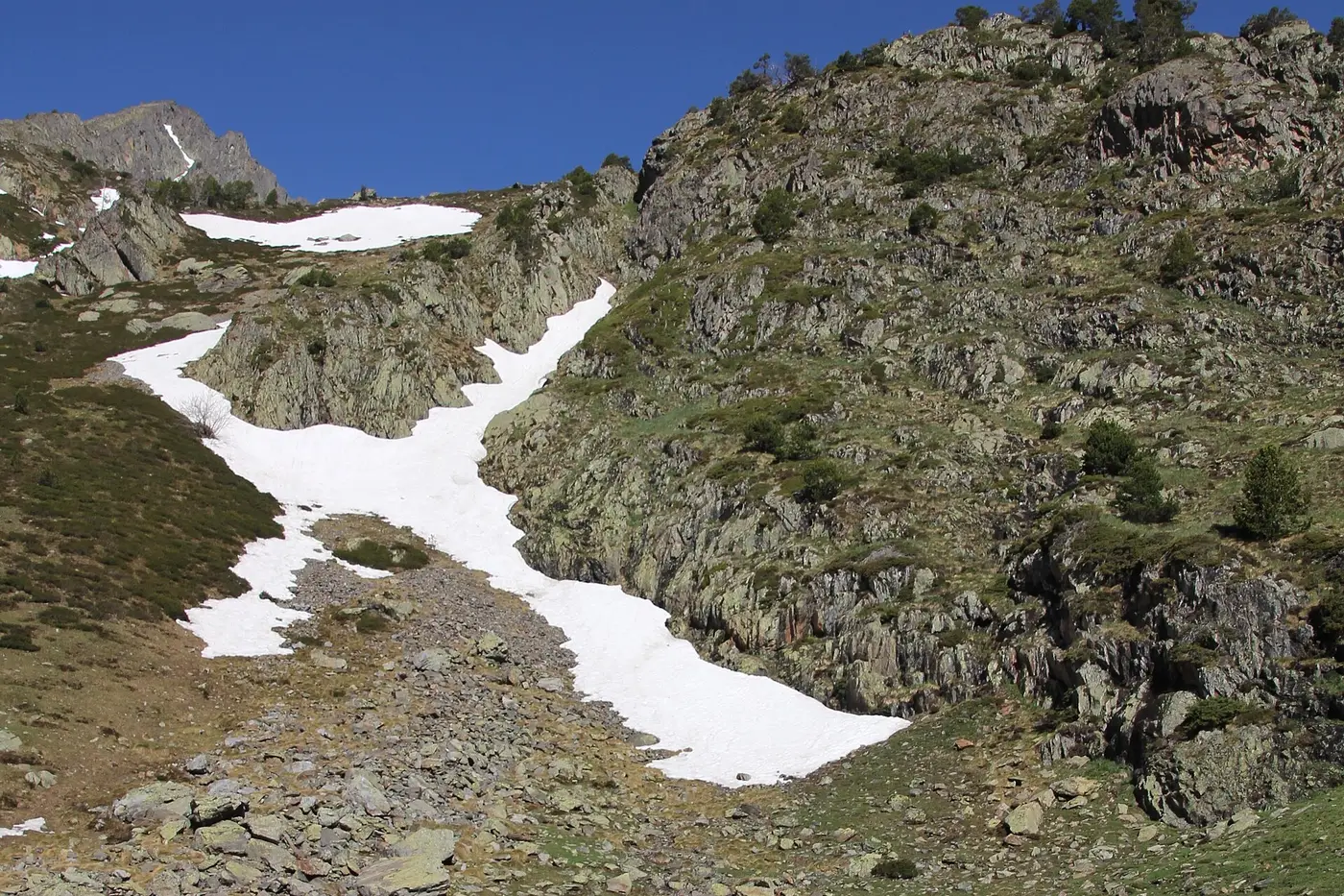
GeologyPla de l'Estany · glacial landforms and bare high mountains
Arinsal and the Comapedrosa Natural Park, Andorra · Adventure and Nature
The tripoint of Andorra, Catalonia and Ariège, reached by a long, technical and exposed ascent.
Activity overview
You set off from Arinsal, cross the Comapedrosa Natural Park and link Pla de l'Estany, its refuge and the Estanys de Forcats before reaching the col. From there begins a poorly marked, steep and exposed final section to a summit shared by Andorra, Catalonia and Ariège.
This outing is organised on request. Before confirming, we review your experience, the group size and the conditions; you then receive the final price and all the details in writing.
Ask about the full package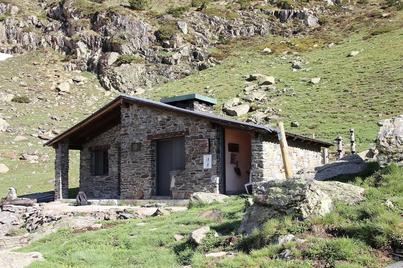
Route at a glance
Reading the landscape
Geology, Wildlife, Plants and Heritage: a closer look at the setting of this activity. Documentary images of species or places not taken at the exact point of the route are shown for reference only, and sightings are not guaranteed.
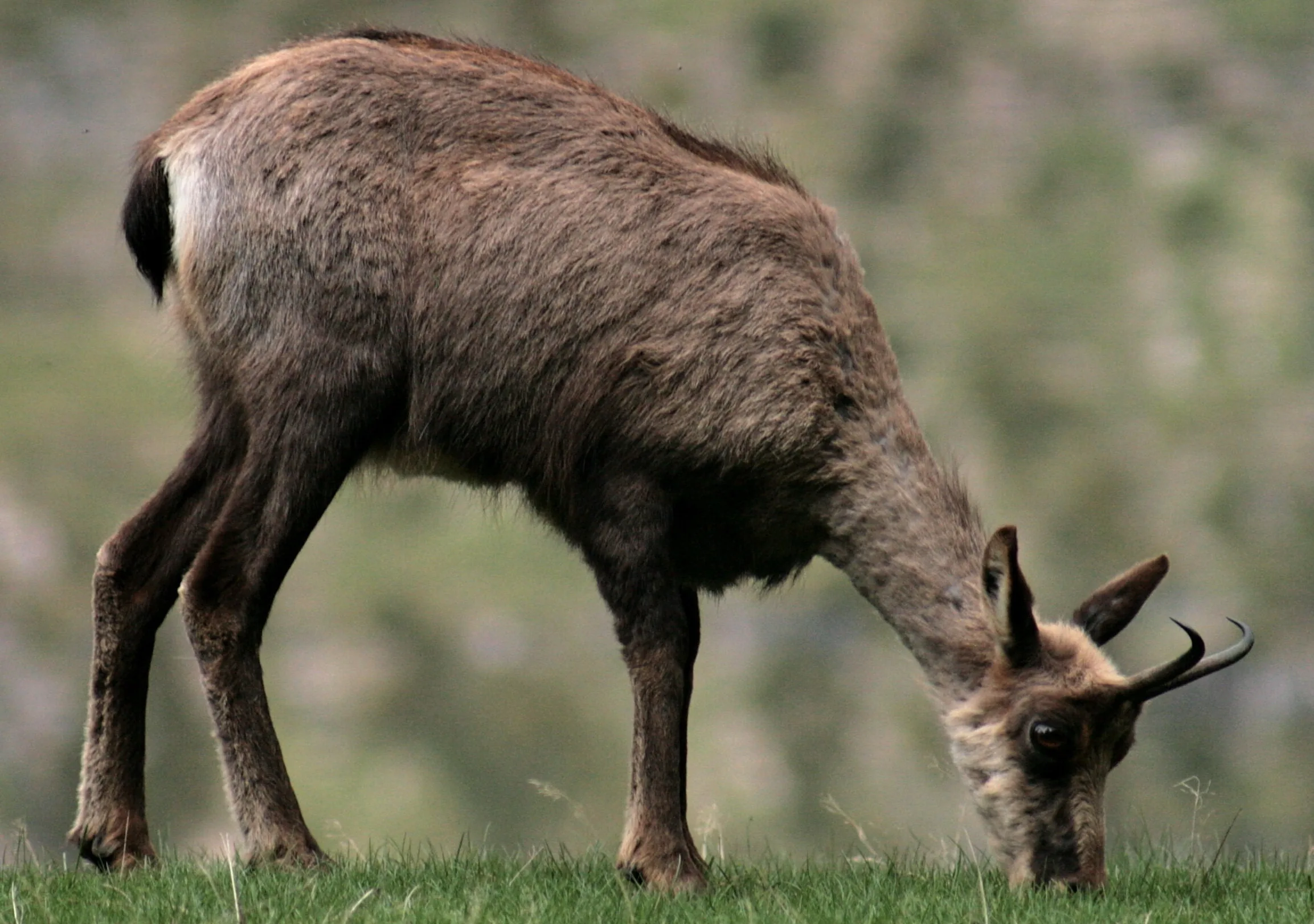
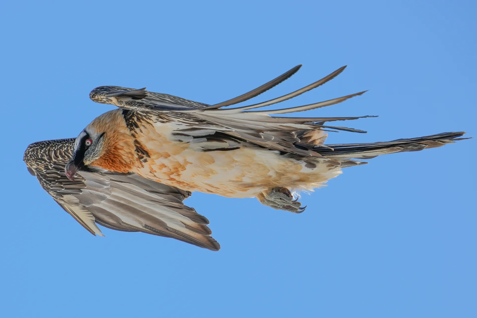
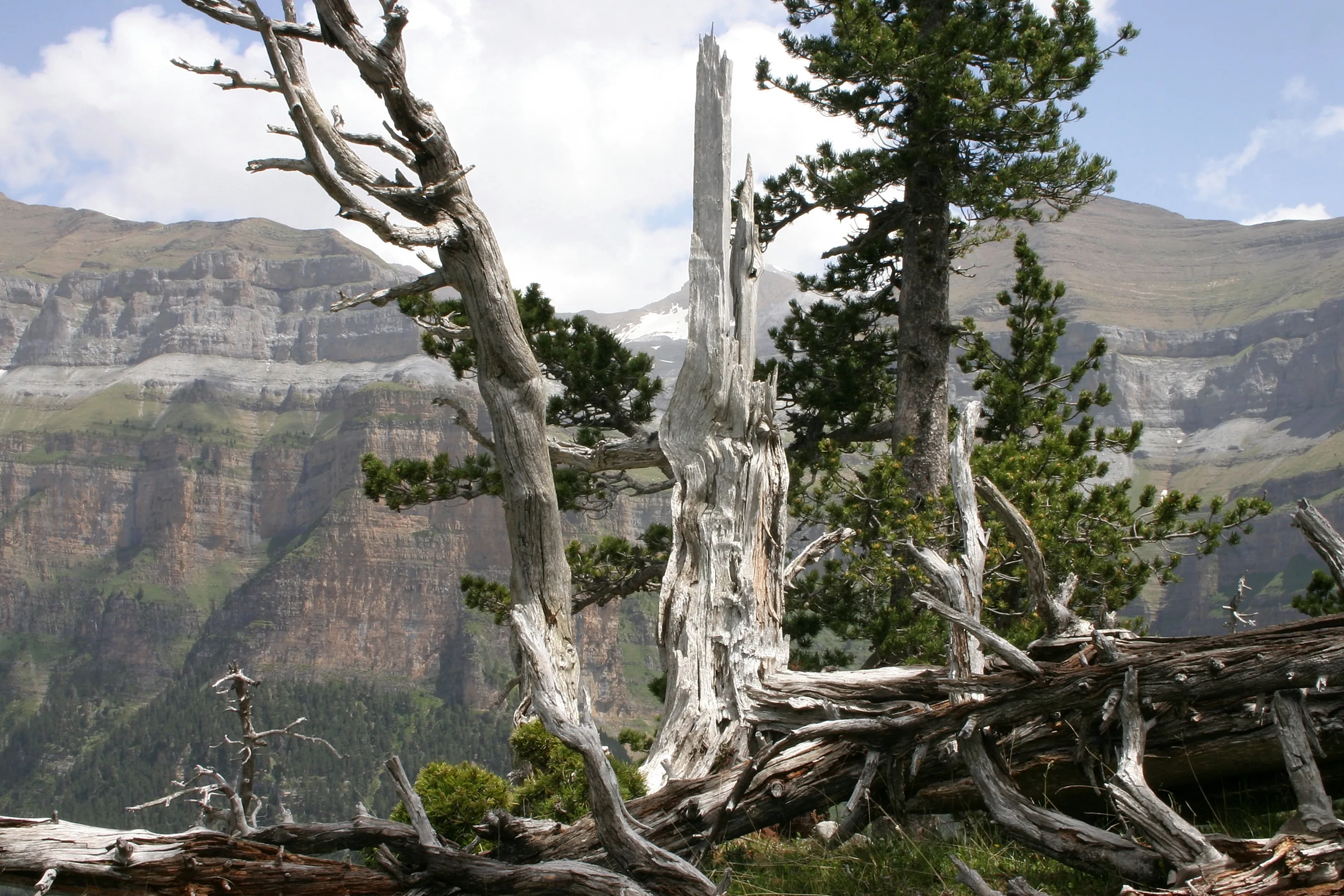
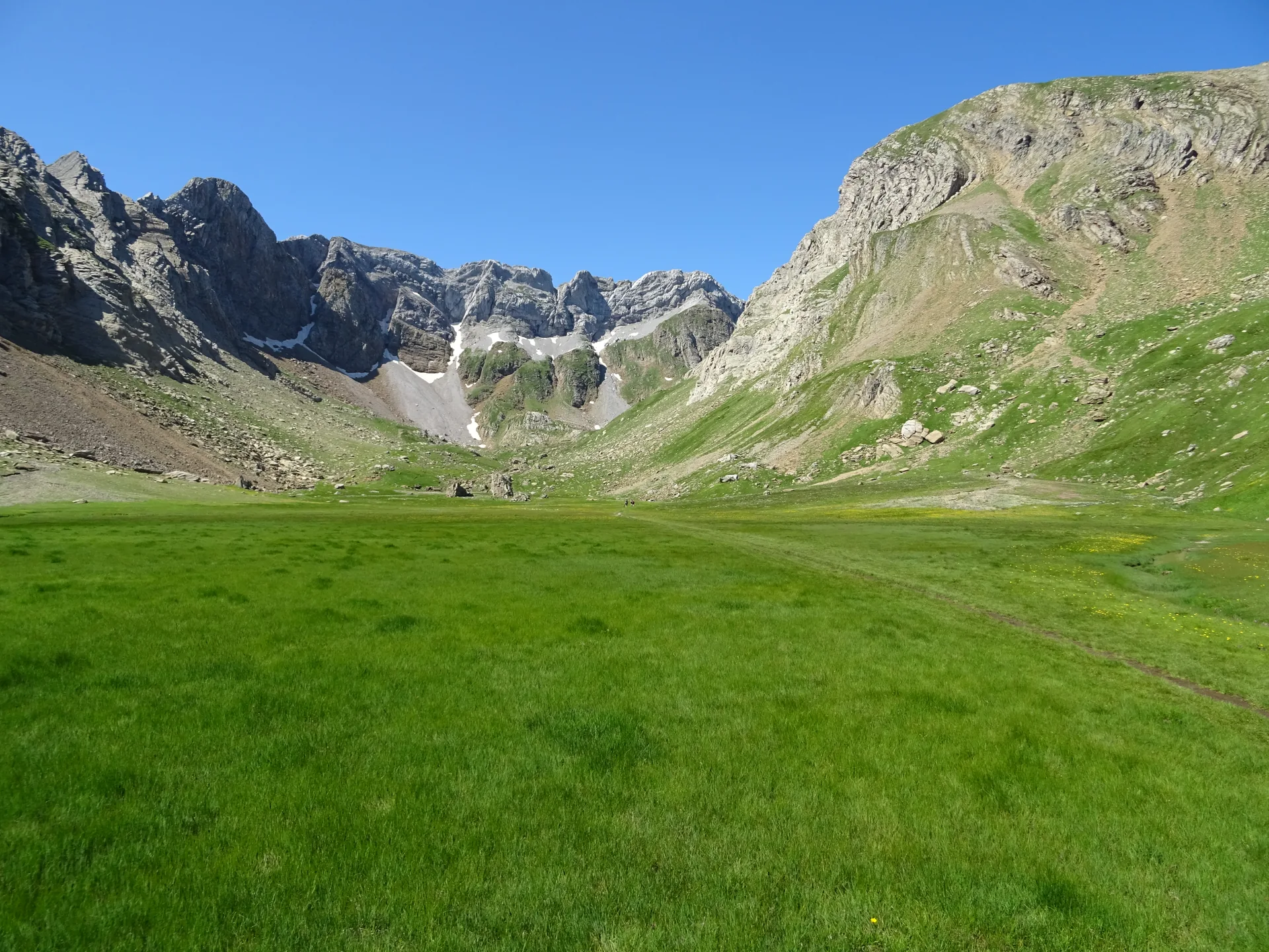
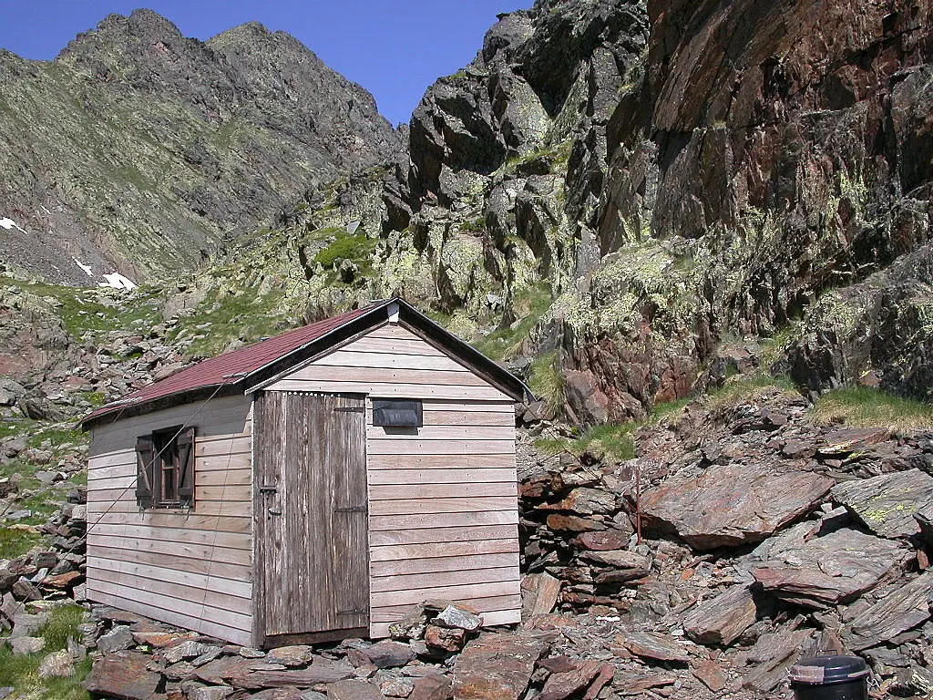
Local photos: Ecotour archive. Documentary images: free-licence image banks or Wikimedia Commons, used under licence or with permission. The species and features shown are documented in the area, but seeing them during the activity is not guaranteed.
Before you book
Medacorba is not a first step into the high mountains: it calls for stamina, confidence on rock and a calm head on exposed ground. Check before you request a date.
The activity at a glance
Detailed itinerary
DAY 1
Start from the Comapedrosa Natural Park car park in Arinsal. The route climbs past the Borda de la Coruvilla, Pla de l'Estany and its refuge, continues towards the Estanys de Forcats and reaches the col. The final section follows cairns over poorly marked, steep and occasionally exposed ground to the summit. The descent returns by the same route.
Pic de Medacorba Ascent
Pic de Medacorba Ascent · Price on confirmation
30% deposit to secure your spot We confirm within 24 h
We book this option with you on WhatsApp: we confirm the date and terms straight away.
Ask us on WhatsAppNo upfront payment
Step 2 of 2 · Payment
Request received
Last step: pay the deposit and secure your spot
Your booking
Deposit (30%)
If the outing doesn't go ahead (for example, the minimum group of 4 isn't reached) we refund the whole deposit; the same if you cancel 7 days or more ahead.
After payment, we'll ask for a short 1–2 minute activity form so we can prepare properly.
Activity highlights
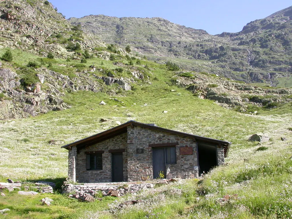
Pla de l'Estany
The route crosses this glacial basin and passes its unstaffed hut before continuing into the high mountains of Forcats.
The Estanys Forcats shelter
The small Forcats shelter marks the entrance to the barest, rockiest part of the route, shortly before the col.
The landscape of the Valls del Comapedrosa
The route climbs from the valley and the refuges up to high-mountain crags; the col sits at 2,702 metres.
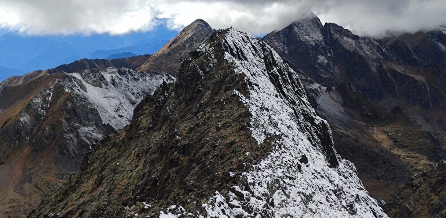
The summit of three countries
Medacorba stands where Andorra, Catalonia and Ariège meet; the archive image shows its ridge and is not a view from the summit.
Professional leadership throughout the ascent and decision-making on the route.
Ecotour mountain leaderThird-party liability and accident insurance during the outing.
Activity insuranceAssessment of experience, equipment and conditions before the date is confirmed.
Advance preparationWhatever group equipment the guide considers necessary for the conditions.
Shared safety equipmentIncluded in the activity.
Public liability and accident insuranceTravel to the meeting point in Arinsal.
TransportWater and food for the whole day.
Food and drinkFootwear, rucksack, technical clothing and personal mountain gear.
Personal equipmentArinsal, at the Comapedrosa Natural Park car park. The final location and time are confirmed when the outing is confirmed.
We do not publish an unconfirmed rate. The final price depends on the group and the organisational conditions of the requested date.
Lingering snow, wind and the condition of the rock can change the plan, even in the usual season. We check the specific forecast before the outing.
Before accepting the request, we go over your recent climbs, your confidence using your hands and your tolerance of exposure with you.
Before you set off
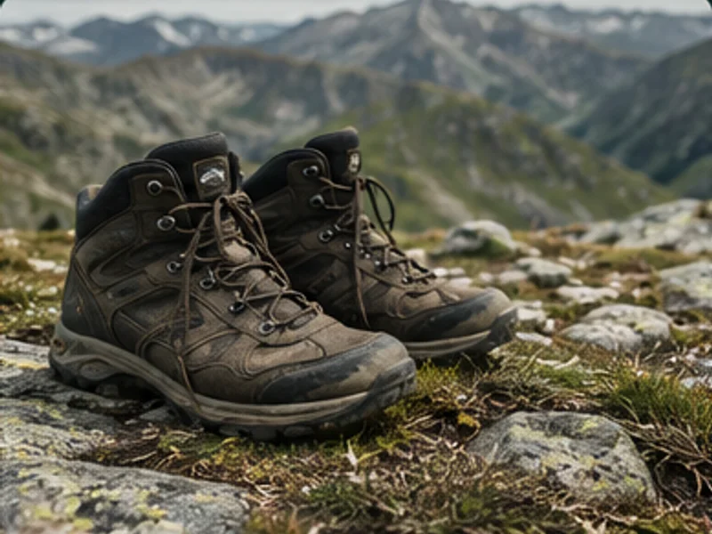
Boots with good support and a reliable sole for rock, scree and a long descent.
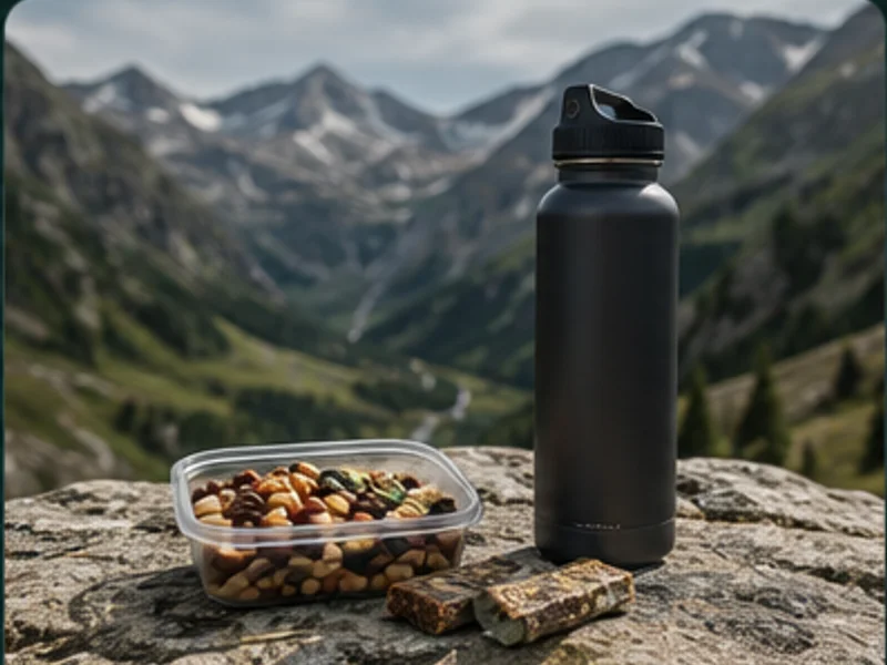
A 20-30 litre rucksack with enough water and food for the whole day.
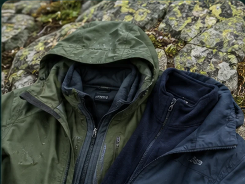
A warm layer, a waterproof and wind protection, even when a settled forecast is expected.
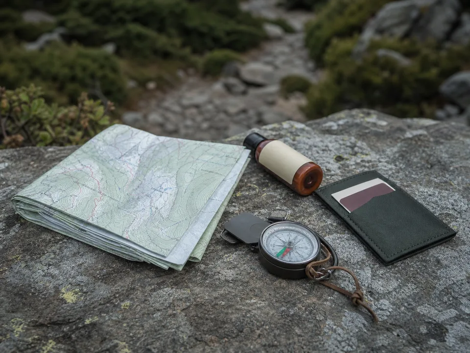
Sun cream, a cap, sunglasses, a head torch and any additional equipment the guide specifies.
Once your date is confirmed, you'll receive the final kit list, adapted to the forecast and ground conditions.
Caring for the environment
Frequently asked questions
Because the final section leaves the clearly marked path, crosses steep and exposed terrain and forces you to use your hands in places. Visit Andorra rates it as very difficult and describes it as the most technical of Andorra's summits over 2,900 metres.
The official route starts in Arinsal, at the Comapedrosa Natural Park car park. The exact point and time are confirmed when the outing is confirmed.
It is organised on request. Before confirming, we review experience, group size, snow, weather and the condition of the terrain.
The official Visit Andorra route guide puts the summit at 2,913 metres. Other maps give 2,914 or 2,915 metres; we use the figure from the official Andorran route sheet.
Gallery

Reviews

Rut V2 weeks ago
Red deer rut
A wonderful experience in a luxury setting. We got in touch with Javi after finding him online and it was a great decision. He's a young guy, passionate about his work and about nature, and it shows. He explained so many things about the rut and the surroundings, and brought samples to show us how animals are tracked, always with respect and without disturbing their habitat. He also took loads of souvenir photos, both of us and of the animals, which we really appreciated. I loved the equipment he uses: he has a screen that attaches to the camera, so we could all enjoy the views without needing telescopes. Thank you so much, Javi, for the experience. You're a truly lovely person.

M. Villar (Proska)2 weeks ago
Red deer rut
Without a doubt an unforgettable experience. Several companies offer the rut, but not like this one: his knowledge of the subject, together with the technology he uses, guarantees a complete outing and lets you enjoy the activity to the fullest. 100% recommended

Loisian2 weeks ago
Red deer rut
We can only thank Javi for our outing: the day before the weather was awful and he advised us to postpone it, so we wouldn't climb up and not see the rut. The next day was wonderful, the views beautiful, and thanks to his experience and his technology we could see everything as if we were at the cinema. If we come back, we'll do it again. 100% recommended

Juanma Ferrer Navarro4 weeks ago
Red deer rut
A really good person who knows the Val d'Aran very well. We had a great morning listening to and watching the rut with Javier, who will be your guide. On top of that, you learn a lot about the local flora and fauna of Aran.

sonia Jiménez2 months ago
Rafting
⭐⭐⭐⭐ An unforgettable week in the Val d'Aran with Ecotour (Javi) We've just spent a week's holiday in the Val d'Aran organised by Ecotour, and we couldn't be happier with the experience. The days were full of adventure, nature, excitement and fun. We'd especially like to highlight Javi, who was much more than a guide. His huge knowledge of the area, the wildlife, the plants and the history of the valley gave every activity extra value. You can tell he's a true nature lover and knows how to pass that passion on to the people with him. During the week we did e-bike rides, rafting, canyoning, a spectacular trek in Aigüestortes i Estany de Sant Maurici National Park with the climb up to Portarró, and we also visited some of the prettiest villages in the Val d'Aran. One of the most special moments was being able to see such emblematic species as the Apollo butterfly, a protected species that is increasingly hard to find. If we had to find a "but", it would only be the rafting, which surprised us least compared with the rest. Even so, we enjoyed the whole experience a lot. We'd also like to thank Javi for his great tips on where to eat in Vielha. He recommended restaurants with excellent value for money, where we could enjoy the valley's food without spending more than we needed to. All in all, a totally recommended experience for anyone who wants to discover the Val d'Aran in a different, active and authentic way. Thank you, Javi, for making this holiday such a special memory. We'll definitely be back!

PAU RODRIGO9 months ago
Snowshoeing
Excellent experience with Javi on a snowshoe route. Vast knowledge about everything to do with the mountains. Going with him guarantees you'll enjoy your adventure 200% and come back with a smile. He works really hard. The best guide I've ever met. See you soon, Javi. Take care 👋👋👋

Jose Manuel Luque Rodriguez11 months ago
Snowshoeing
More than a guide, a friend!! His level of knowledge about the mountains, snow, animals and everything related to the mountains is exceptional. My experience with him on snowshoes: 15 out of 10!! A professional and one of those people who only give... Personally, I didn't meet a guide, I made a friend. Professionally... one of a kind... I'd always recommend him, and I already do. A hug, Javi.

José Luis Durán12 months ago
Red deer rut
With Ecotour we did two organised rut outings last September. Although in the morning we didn't manage to see any deer (because, unfortunately, the wild boar hunt was on), the experience, both the trekking + observation outing and the afternoon observation, was great. Javier is a great professional who radiates friendliness and passion for his work, and he passes that on in everything he explains. I think we couldn't have found a better guide. A completely recommended experience with him. To repeat another year!

Joan Palomer12 months ago
Red deer rut
We went to see the rut with two little girls, and with Javi it was great fun and he was very attentive. For our next outing in the area, we'll definitely hire him.

Montse Coca1 year ago
Red deer rut
A great afternoon: Javi took us to an area where we could see and hear the rut, treated us to a small snack of local produce and told us about the life of the deer, the differences between antlers… You can tell he's passionate about his work. Thanks to the camera and lens he uses we could see them really well and watch their behaviour during the mating season. A great experience, highly recommended.

Antonio disa1 year ago
Red deer rut
We did an outing to look for deer and listen to the rut. Javi is a very good guide, a person with a huge knowledge of the mountains and a great photography enthusiast. An experience to repeat.

Carlos N1 year ago
Snowshoeing
We did a snowshoe route and the experience was heartwarming. Javi as a guide doesn't just pass on his love of the mountains, he teaches you to love and understand them; on top of that he's one of the group, he's your friend and he cares about every single person in it.
Our activities
Aigüestortes i Estany de Sant Maurici National Park
An interpretive day out to learn how to read the glacial landscape, plants and wildlife of Aigüestortes, alongside a naturalist guide.
Find out moreVal d'Aran
Listen to and watch the red deer rut at dawn or dusk in the golden autumn forests of the Val d'Aran, with a specialist wildlife guide.
Find out moreAigüestortes and Val d'Aran, depending on what you want to photograph
Guided hikes in Aigüestortes and the Val d'Aran designed for photographing flora, wildlife, landscapes and the night sky.
Find out morePort de la Bonaigua, Val d'Aran (next to Aigüestortes, a certified Starlight Destination)
A night-sky observation session at the Port de la Bonaigua pass in the Val d'Aran, on the edge of Aigüestortes National Park, a certified Starlight Tourist Destination.
Find out moreAigüestortes i Estany de Sant Maurici National Park
Thirteen catalogued routes in the Aigüestortes i Estany de Sant Maurici National Park, from accessible strolls to high mountain ascents, with a qualified mountain leader who helps you choose the one that suits you.
Find out moreVal d'Aran and the French Pyrenees
Five canyons between the Val d'Aran and the French Pyrenees, from family-friendly beginner descents to advanced technical level.
Find out moreLes, Naut Aran, Arties, Pont de Suert and Vall de Boí (Val d'Aran and Alta Ribagorça)
Seven via ferratas in the Val d'Aran and the Alta Ribagorça, from beginner (K2) to advanced (K4).
Find out moreVal d'Aran and Luchon (French side)
Tandem paragliding over the Val d'Aran or Luchon with a qualified pilot. Four flight options, from €160 to €250.
Find out moreVal d'Aran · Pyrenees
Snowshoes and poles ready to collect in Vielha, from €15 for 1 day. No guide, no waiting: book and head out into the snow on your own.
Find out moreVal d'Aran and Pallars Sobirà, Catalan Pyrenees (Spain)
Head out to track the Pyrenean brown bear with a wildlife specialist: footprints, hair, claw marks on tree trunks and, with luck, a sighting from a distance. No promises, full respect.
Find out moreVal d'Aran · Pyrenees
We arrange your e-bike hire in the Val d'Aran with our trusted local supplier, with helmet, repair kit and insurance included. Half days from €43 (child) and €64 (adult).
Find out moreBujaruelo (Torla) and the Monte Perdido massif, on the Spain-France border
A 6-day circular trek around Monte Perdido (3,355 m), the highest limestone massif in Europe, crossing Roland's Breach and the Balcón de Pineta between Spain and France.
Find out moreVal d'Aran and Alta Ribagorça
The Molières-Besiberris High Route (Alta Ruta Molières-Besiberris): a 6-stage, 86 km circular trek from Vielha, linking the Artiga de Lin, Conangles, Caldes de Boí, Ventosa i Calvell and Restanca refuges, with the option to climb Molières and Besiberri.
Find out moreVall de Boí, Alta Ribagorça
A technical ascent to the summits of the Besiberri massif, with a night at the Ventosa i Calvell refuge and a final grade III scramble near the top.
Find out moreArties / Restanca Refuge, Val d'Aran
Montardo (2,833 m) is the most emblematic peak in the Val d'Aran: a full-day ascent with no technical difficulty but demanding elevation gain, and one of the best panoramas in the valley.
Find out moreBagergue, Naut Aran (Spain-France border)
Ascent of the Tuc de Mauberme (2,880-2,881 m) on the border between Spain and France, passing Lake Montoliu. Low technical difficulty, a full day from Bagergue.
Find out moreConangles, Val d'Aran
One of the most accessible 3,000-metre peaks in the Pyrenees: a one-day ascent of the Tuc de Mulleres (3,010 m) from Conangles, through a granite valley dotted with lakes.
Find out moreVielha e Mijaran, Val d'Aran
Ascent of the Tuc de Port de Vielha (2,606 m), in the municipality of Vielha e Mijaran, with a geodetic marker on the summit and a place on the FEEC's list of the 100 cims.
Find out moreAigüestortes i Estany de Sant Maurici National Park
The classic circular trek through Aigüestortes National Park: 56 km and about 9,000 m of cumulative elevation change, linking the park's nine staffed refuges.
Find out moreVal d'Aran / Pyrenees
A first taste of the mountains at night: walking at an easy pace, sleeping in an unstaffed hut (bivouac only if conditions allow) and waking up right in the landscape, with a guide and sound safety judgement.
Find out moreAneto (Ribagorza) and Val d'Aran, Posets-Maladeta Natural Park
An undemanding walk through the Salenques beech forest, crossing its bridge and climbing alongside the ravine through the woods, with a link to the GR-11 as far as the Conangles refuge.
Find out moreAround Vielha, Val d'Aran
A dusk outing to discover the frogs, toads, newts and salamanders of the Val d'Aran: their life cycle, their calls and why they are a key indicator of healthy ecosystems.
Find out morePla de Beret, Val d'Aran (on the border with Pallars Sobirà)
A semicircular route of about 5 km to the glacial lakes of Baciver, at the source of the River Garonne, suitable for beginners and families who are already used to walking.
Find out moreTredòs, Val d'Aran (Aiguamòg valley)
A glacial cirque with around 50 lakes, starting from the Banhs de Tredòs car park: a short route to 5 lakes (about 3 h) or a long route that takes in the cirque's 7 classic lakes (about 5 h).
Find out moreVal d'Aran
A short, gentle night walk through the forests and paths of the Val d'Aran to experience the mountains as the light changes: moonlight, sounds, silence and the night-time landscape, with a guide.
Find out moreVielha e Mijaran, Val d'Aran
A short, accessible climb of Montcorbison (2,172 m) in the centre of the Val d'Aran, with views of Vielha, Aneto and the Maladeta.
Find out moreVal d'Aran
A short dusk walk along the riverbanks, barns and bridges of the Val d'Aran to discover the valley's bats: echolocation, flight and a bat detector, with a guide.
Find out moreVal d'Aran, Upper Ribagorça and Pallars Sobirà
Guided birdwatching in the Val d'Aran, Upper Ribagorça and Pallars Sobirà, with a guide who has an ornithology background. Birds of prey, rock-face and high-mountain specialists, and forest and river species, depending on the area and season.
Find out moreVal d'Aran, Aigüestortes and the Pyrenees
Watching and interpreting Pyrenean wildlife in a small group, between the Val d'Aran and Aigüestortes, with a naturalist guide.
Find out moreVal d'Aran and the Couserans (Ariège, France)
A cross-border high-mountain trek between the Val d'Aran and the French Couserans, crossing five passes above 2,400 metres in five stages.
Find out moreVal d'Aran · Pyrenees
A guided snowshoe route through the snowy forests and landscapes of the Val d'Aran, €55 per person in a group of 4 to 7, adapted to the snow and the actual conditions on the mountain.
Find out moreVal d'Aran and Aigüestortes
Learn to read the forest and the mountains: tracks and signs of the mammals, amphibians and bats of the Pyrenees, with a specialist wildlife guide.
Find out moreVal d'Aran
An interpretive walk on easy paths to discover the plant diversity of the Val d'Aran: Pyrenean flowers, trees and shrubs, with a guide who specialises in flora.
Find out moreVal d'Aran · Pyrenees
Guided 4x4 tour to the most remote corners of the Val d'Aran, with stops for short walks, wildlife and local heritage.
Find out moreBujaruelo (Torla) and the French side of the Vignemale
A 3-4 day trek around the Vignemale massif (3,298 m), the highest peak in the French Pyrenees, with the Oulettes de Gaube and Bayssellance refuges and a passage by the Cirque de Gavarnie.
Find out moreLlauset, Ribagorza
You set off from Aneto, sleep at 2,425 metres in the Cap de Llauset refuge and climb Vallibierna (3,067 m), with the Maladeta and Aneto as your backdrop.
Find out moreBenasque, Aragonese Pyrenees
A 3-day circular trek around the Maladeta-Aneto massif, with nights at the Renclusa and Cap de Llauset refuges, and no need to cross the glacier or reach the summit.
Find out moreOur trips
Morocco · High Atlas
4x4000 challenge: five days and four nights with a local team. Toubkal, West Toubkal, Ras and Timesguida.
Find out moreNepal · Himalaya
Eighteen days of expedition through the quieter side of the Himalaya, in a small group: the Budhi Gandaki valley, the remote Serang Gompa monastery, the Tibetan villages of Nubri and the Larkya La pass, at 5,106 metres.
Find out moreMorocco · High Atlas
5x4000 challenge: five days and four nights with a local team. Toubkal, West Toubkal, Ras and Timesguida. Imouzzer subject to conditions.
Find out moreNepal · Himalaya
Fifteen days trekking in the Langtang Valley, in a small group: Buddhist monasteries, Tibetan culture, Kyanjin Gompa and the Tserko Ri viewpoint at 4,984 metres.
Find out moreMorocco · High Atlas
A six-day winter ascent of Mount Toubkal (4,167 m) from Marrakech via Imlil, with acclimatisation, refuge nights and a summit attempt subject to qualified guidance and safety.
Find out moreLapland · Arctic
Nine days of photographic ski touring with a pulka on the Kungsleden, between Abisko and Alesjaure, with the Ecotour team: mountain huts and northern lights nights.
Find out morePakistan · Karakoram
23 days in the Pakistani Karakoram: the Baltoro Glacier, K2 Base Camp (5,150 m), the Gondogoro La pass (5,585 m) and the Nangma Valley, well off the usual trekking routes. Small group, with Javier Gil.
Find out moreMorocco · High Atlas
4x4000 winter challenge: five days and four nights with a local team. Toubkal, West Toubkal, Ras and Timesguida.
Find out more